EmArchive
Making undergraduate geoscience quantitative.
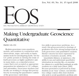

 The title of last week’s feature Eos article by Manduca et. al. (You have to be a member to access it.)
I offer part of a figure from our recent NSF grant proposal to use Emriver models to teach science, technology, and mathematics. It’s chock full of quantification, and there’s a lot more where that came from. Students can even quantify fluvial features as they watch them evolve. For example, meander migration that might take decades in a real world channel can be measured and quantified in a half hour using an Emriver model.
These models, and our nearly-done Em4, are wonderful tools for connecting science to life experience and then to deeper science and math.
(The figure shows a time sequence from one of our video clips at top, and also from a sequence showing remeandering of the Grand River in northern Missouri over about 50 years, and possible measurements students can make using aerials, maps, and the Emriver.)