Geosciences
Emriver Models in the Geosciences
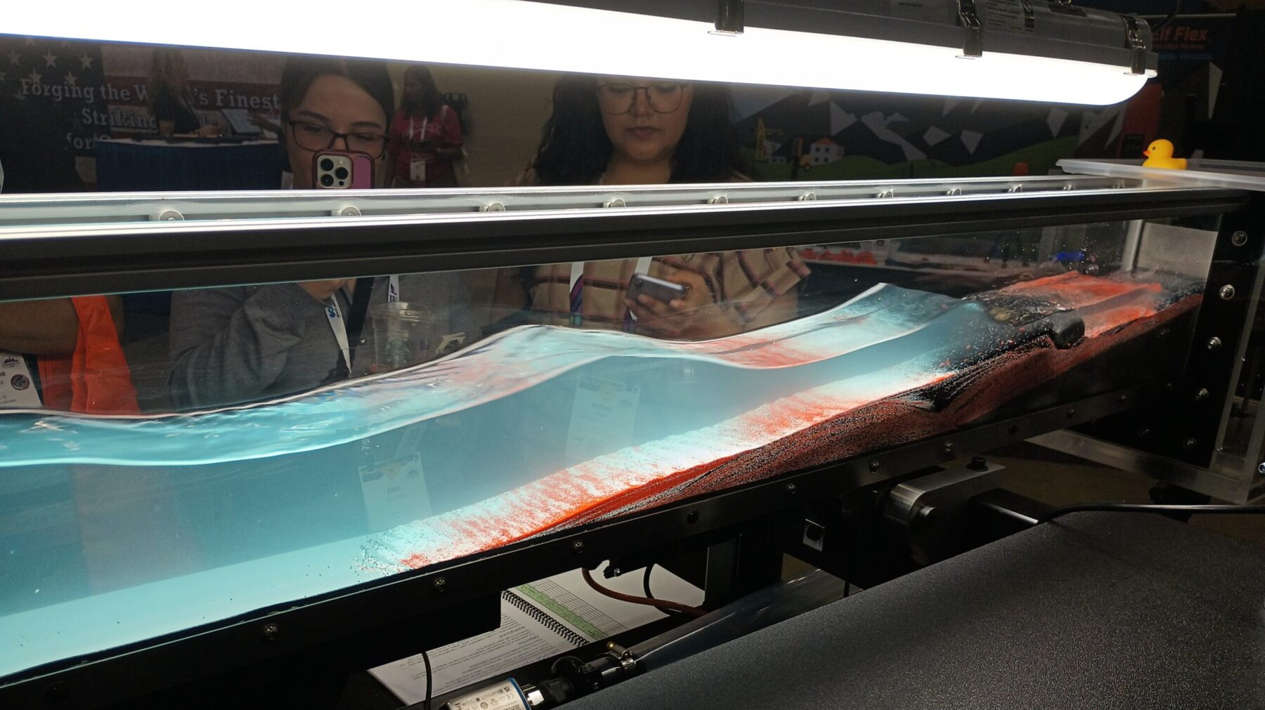
Emriver models are ideal for teaching about river and coastal dynamics in geology, hydrology, sedimentology and geomorphology. By scaling down time and space, the interactive models allow students to understand processes that most often occur too slowly to observe in the field.
Emriver models have been integrated into the instruction in geoscience courses such as the following: engineering geology, environmental geology, physical geology, fluvial geomorphology, hydrogeology, hydrology, and sedimentology.
Example Topics and Lessons
- How rivers form, erosion, deposition, channel migration, point bars, cut banks, meander cut-offs, erosional terracing, delta development, headcuts, sediment transport, continuity, channel stability
- Impact of riparian buffers, floodplains, various approaches to bank stabilization and armoring
- How development and infrastructure should be informed by a knowledge of river and coastal dynamics
- Planetary surface processes
- Imaging with photogrammetry and LiDar
- Coastal and estuarine morphology (with use of Wave Maker)
Example Applications in Geosciences
- Stream Table Lab for Environmental Geology 101 and follow-up lab
- Planetary studies; surface processes on Mars
- Lab: Introduction to applied fluvial geomorphology in stream ecology using the Emriver Em2. Teaching concepts include sediment transport process, continuity, river long profiles, adjustment to disturbance, influence on fish habitat.
Research
These journal publications, theses, and conference presentations feature Emriver models.
Theses
- Discriminating Meandering and Braided Channel Patterns on the Basis of Discharge and Slope using a Physical Laboratory Model: the Emriver River Process Simulator
- Qualitative and Quantitative Experiments Using the Em4 Physical Model
- The Use of Plastic Media in a Movable Bed Model to Study Sedimentary Processes in Rivers
Published Articles
- Comparing MODFLOW simulation options for predicting intra-meander flux, Han B. and Endreny T. 2014. Hydrol. Process. 28, 3824-3832. DOI: 10.1002/hyp.10186
- Detailed river stage mapping and head gradient analysis during meander cutoff in a laboratory river, Han B. and Endreny T. 2014. Water Resources Research, AGU. 50, 1689-1703 DOI: 10.1002/2013WR013580
- Spatial and Temporal intensification of lateral hyporheic flux in narrowing intra-meander zones, Han B. and Endreny T. 2013. Hydrol. Process. 27, 989-994. DOI: 10.1002/hyp.9250
- Hands-on – Remote Sensing of Physical Models in Exploration of Surficial Processes, Jeff Clark, Lawrence University; using our Emriver modeling media to demonstrate remote sensing concepts and procedures.
- Asymmetrical Changes in Hydraulic Gradient Along Valley and River Transects During Meander Cutoff Evolution, Han B. and Endreny T. 2009; AGU from State University of New York, College of Environmental Science and Forestry
Presentation Abstracts
- Using the Emriver Em2 Geomodel in the Classroom to Simulate Impacts of Land Use and River Management Techniques on Fluvial Geomorphology, Ruffing, C. M., et al., GSA 2014.
- Beyond the Stream Table: Other Geoscience Education Applications for Ground Melamine Plastic, Kuchta, M., GSA 2014.
- Advances in the use of non-lithic media and close-range photogrammetry in physical modeling of fluvial process, Gough S.C. 2011; GSA
- Student experiments in sediment transport, landform migration and channel modification in noncohesive river channels using a large-scale laboratory stream model, Londono, et al. 2010; GSA presentation from Saint Louis University, Earth and Atmospheric Sciences
- Use of thermoplastic sand in physical models of fluvial systems, Gough S.C. 2009; GSA
See more Video examples!